When I want to understand the history hidden in a hedgerow, I run a simple age survey that combines field observation, a few quick measurements, and clear record-keeping. Over years of walking, photographing and surveying hedgerows across the UK I’ve found this approach reliable enough to build useful local data and to feed into county trusts and recording schemes. Below I’ll walk you through the steps I use, the kit I carry, how I estimate age, and where and how to submit the records so your work helps conservation and planning decisions.
Why do a hedgerow tree age survey?
Hedgerows are living archives: their species mix, structure and individual tree ages reveal past land use, old boundaries and ecological continuity. A hedgerow age survey can:
What I take with me
I keep my kit lightweight and practical. Typical items in my rucksack:
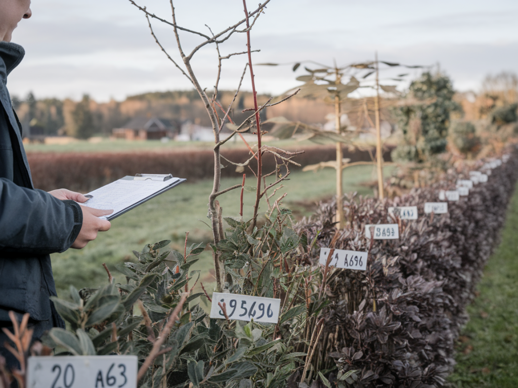
Basic survey method: walk, record, photograph
Start by walking a defined length of hedge. For consistency with common hedgerow-dating approaches, I use a standard 30-metre length where practical (many traditional rules use c. 30 yards / ~27 m). For longer hedges I survey multiple adjacent 30 m stretches and treat each as a separate sample.
Counting woody species (Hooper-style hedgerow age estimate)
A simple starting point is the species-count method often attributed to Hooper and others. In each 30 m section, list the woody species present — including small shrubs and tree species that occur within the hedge line (e.g. hawthorn, blackthorn, field maple, hazel, oak, ash, holly, etc.).
The rule of thumb used by many local groups is:
| Method | Interpretation (approx.) |
| Count of different woody species in one 30 m section | Each species typically represents c. 100–110 years of age (very approximate) |
I treat this as an indicative estimate rather than a precise date. If you find three different woody species in a 30 m stretch, that suggests the hedge may have origins in the medieval to early-modern period, but local management, planting, and species invasions can skew the count. Use this method as a screening tool to flag potentially ancient hedgerows for further investigation.
Estimating age from tree girth
For individual hedgerow trees (standard trees growing out of the hedge), measuring girth at 1.3 m above ground (circumference) gives another angle on age. The simple formula I use is:
Estimated age = measured girth / average annual girth increase
Because growth rates vary hugely between species, site fertility and exposure, I use conservative growth-rate ranges. Below is a rough table I use in the field to convert girth (cm) to an approximate age. Treat ranges as indicative.
| Species | Typical circumference growth (cm/year) | Notes |
| Oak (Quercus robur / Q. petraea) | 0.5–1.5 cm/year | Slow-growing; older trees common. Use lower rate for poor soils. |
| Ash (Fraxinus excelsior) | 1.0–2.5 cm/year | Faster growth where fertile; consider ash dieback effects. |
| Hawthorn (Crataegus monogyna) | 0.5–1.5 cm/year | Often multi-stemmed; measure largest stem or note multi-stem. |
| Field maple, hazel | 1.0–2.0 cm/year | Shrubby forms are common; coppicing distorts age estimates. |
Example: an oak with 180 cm girth and using 1.0 cm/year gives a ballpark age of 180 years. Using 0.7 cm/year gives ~257 years. Where a hedge tree is multi-stemmed from a low point, note that girth will overestimate age — record stem count and configuration.
Recording structure and associated features
Age is only part of the story. I always record structure and associated features, because these clues help interpret the age and significance:
Filling your survey form
Many local wildlife trusts and county ecological record centres provide templates. If you’re using your own sheet, include:
Submitting records: where and how
I submit my hedgerow surveys to multiple places to maximise their use:
When submitting, include the survey form (PDF), GPS points, and clear photos. If you think the hedge has historic importance, flag it as such and offer to discuss your findings with the trust or record centre.
Practical tips from the field
Next steps after submission
After I submit records, I follow up. Local trusts sometimes want clarification or an on-site visit. If a hedge is flagged as potentially ancient or ecologically valuable, I’ll stay in touch and offer to help monitor changes. Even a modest dataset of well-documented hedgerow sections can inform local planning discussions and targeted conservation work.
If you want, I can share my simple survey template and a sample completed sheet I use in the field — drop me a line via the contact page on Outdoorangus Co and tell me which county you’re working in. I often exchange tips with folk who run surveys in their local parish: consistency across surveys really helps build a useful local picture.